Using Tractor Data for Pipe Planner
Related Articles
- 2010 Row Crop Short Course Video Links 0
- Calcium and Magnesium For Mississippi Crops 0
- March 11 Precision Agriculture Workshop 0
Latest Tweets
Utilizing tractor GPS data for Pipe Planner designs seems to just get easier. Here are some basic steps to utilize GPS tractor monitor data to develop a Pipe Planner recommendation. (all pics are clickable)

Elevation data is one piece of data created as you log with your tractor display. Logging while you plant is an excellent choice to create elevation file data. Normally the field is in excellent condition, resulting in very good elevation data. A program like SMS from Ag Leader will be needed to process the data once down loaded from the tractor display. Once you enter the data from your display into SMS, SMS will process all the attributes into a usable format for mapping. Here is an example of an elevation map created with SMS.

This field was traditionally a dry-land field and never irrigated. Rows had always been run east and west. Because the natural fall was northwest to southeast, we changed the row direction for irrigation purposes. The elevation map showed us the high elevation points in the portion of the field we were targeting to irrigate and allowed us to draw an AB line where the poly-pipe needed to be placed. We created this line in SMS. This new AB line can be exported back to the tractor display and utilized to lay the poly-pipe.

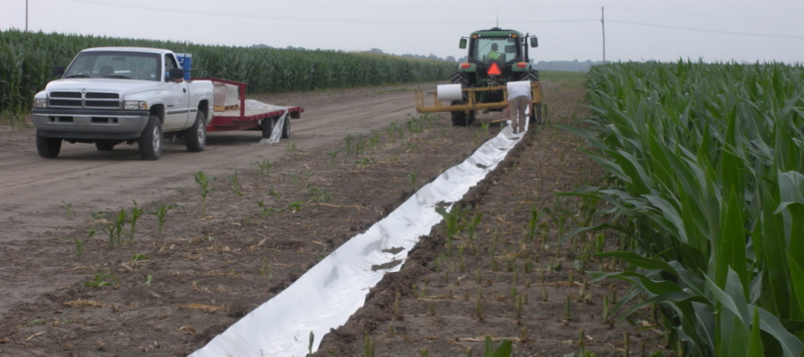
Utilizing our newly created AB line for our poly-pipe as a guide in SMS, we selected the elevation points we wanted to use by creating a polygon around the AB line. The data within this polygon was exported and saved as a .cvs file for use by pipe planner. Only the darken data points selected were utilized verses the entire field data set.
Here is what the Pipe Planner design looks like for the south part of the field. You will notice the change in row direction we discussed earlier. The new Pipe Planner allowed us to input our elevations file data and effortlessly divide the field into two sets. The once non irrigated field is now irrigatable. We hope this gives you some insight on utilizing the technology available to assist in making irrigation and Pipe Planner decisions.


Let me tell You a sad story ! There are no comments yet, but You can be first one to comment this article.
Write a comment