Get to Know Your Soil
Related Articles
- Fertilizing Cotton with Poultry Litter 5
- Spring Nitrogen Fertility Suggestions for Wheat 0
- Micronutrients for Mississippi Crop Production 4
Latest Tweets
Get to Know Your Soil
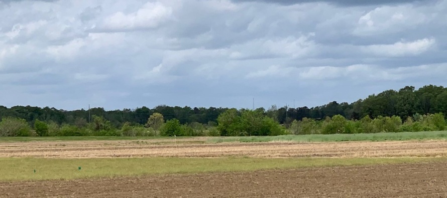
The soils in Mississippi are diverse, reflecting parent material differences, the warm, humid climate, very active soil biology because of the warm, humid climate, and the unique topography. Agriculture in each part of the state derives from the present-day surface soils: over 80% of the state’s row crop production is in the Delta; the Brown Loam and Coastal Plain areas have more animal agriculture and forestry, plus the remaining row crop acreage.
Knowing your soils is key to managing them. You may remember dusty, kind of tan or blue county-based books from the former Soil Conservation Service (now Natural Resource Conservation Service) in pickup trucks (often on the dashboard) which featured fold-out maps with lots of lines on them. There was other information about the individual soils mapped in the particular county, and interpretations regarding potential use of them.

Three ‘old school’ soil survey books.
We have moved on. The Natural Resources Conservation Service maintains Web Soil Survey, (WSS) an internet-based tool to access the largest natural resource information system in the world. and is available for the cost of an internet connection at https://websoilsurvey.sc.egov.usda.gov/.

The ‘new school’ Web Soil Survey interface
Four basic steps to start using WSS:
- Find and outline the area to investigate. There are ten ways to navigate from the map of the entire country down to your lawn, field, or farm. When at the appropriate scale, use the mouse to define to your Area of Interest, i.e. draw a line around it.
- After the area is defined, click Soil Map (tab at top) to view a map of the soils in your Area of Interest. A table will appear with information about each series, including the full name, map symbol, and acreage of it in the area you outlined.
- Click the Soil Data Explorer tab at the top to see the analytical data of each soil. This will aid in determining a suitable management plan. Soil health related parameters such as susceptibility to compaction, organic matter, and bulk densities are now available under the tabs on this page. Information from this step can be deposited in your free Shopping Cart.
- Go to the Shopping Cart (also at the top) to get your custom report (remember you picked what’s in it) for print now or later (save as pdf).
You are now armed with detailed, science derived information for bankers, insurance agents, landlords, vendors, and nosy relatives to explain your planting intentions.
If you are standing on a soil without your computer (to use an old term): there’s an app for that. SoilWeb Version 2.0 is free for download on Android and Apple devices. This 2019 version added new features and improved functionality.
Web Soil Survey is constantly being improved. It is anticipated to be touch-screen compatible in the future. However, the current version already serves as a very strong natural resource planning tool for landowners, renters, and managers and their consultants.

Natchez, the Mississippi State Soil


Let me tell You a sad story ! There are no comments yet, but You can be first one to comment this article.
Write a comment